| What is Geodesy and Geomatics? |
Testimonials | FAQ | Admission Requirements |
Careers |
|---|
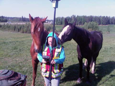
Career Opportunities in Geomatics
For a list of who has hired our graduates, visit this page
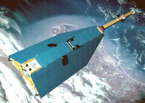
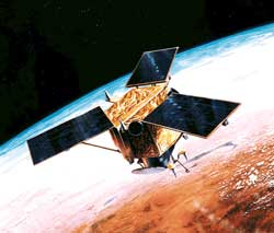
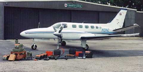
GNSS: A Growing Field of Applications
Global navigation satellite systems (GNSS), including GPS, have emerged as a catalyst to revolutionize applications and innovations needed to improve our daily life and understand our planet better. GPS satellites transmit radiowave signals that must travel through the Earth's atmosphere to be received by GPS antennas and receivers integrated in our iPhones, in our cars, and onboard airplanes and ships to help us reach our destinations. Our GGE graduates use advanced GPS applications on land, sea or in the air for a variety of positioning and navigation applications including land surveying and accurately positioning off-shore drilling platforms. They also work on achieving ever-increasing positioning accuracies in real-time or post-processing modes, using a variety of GNSS receivers ranging from the simplest ones built into your wristwatch to high-end geodetic-type GNSS receivers tracking multiple satellite constellations.
Some students may wish to obtain graduate degrees in engineering or the sciences by pursuing research in one of a number of different areas. Examples include (1) measuring how much the Earth's tectonic plates may have moved in a year; (2) calculating the Earth's atmosphere temperature profiles to understand our changing climate; (3) observing in real time how earthquakes and tsunamis may affect our atmosphere; (4) detecting and imaging volcanic eruptions in remote corners of the planet where no other instrumentation may be available to warn populated areas (5) studying space-weather effects impacting our telecommunication infrastructure. All these are made possible by simply measuring by how much the Earth's atmosphere slows down the GPS signals. Such cutting-edge work requires high precision measurements of the phase and amplitude of the GPS signals to achieving millimetre and sub-millimetre level accuracies. Recently, GPS was even demonstrated to study the effects of meteorite impact over Russia, opening roads to more advanced GPS applications that we never thought possible just a few years ago.
GGE professors Richard Langley, Marcelo Santos, Peter Dare, and Attila Komjathy are all actively teaching and/or carrying out research in GNSS, helping to make UNB one of the best known universities in this field.

Remote Sensing
Remote sensing is the science and technology used to both collect information of the earth's surface without making physical contact with the object, and analyse this information to solve problems on earth. Remote sensing devices (such as cameras) mounted on satellites and airplanes are the common tools used to collect images of the earth. Remote sensing is used in almost all disciplines to solve any geo-related problems, from detecting forest fires, identifying oil spill, to finding Osama bin Laden; from monitoring river flooding to surveying developments of possible nuclear weapon sites. Google Maps and Google Earth are examples of remote sensing applications. Almost the organizations which need geo-related information to solve their problems will hire remote sensing professionals, from government, academia, industry, to military. All geo-related disciplines need remote sensing professionals, such as Geomatics, Civil, Environmental Sciences, Geology, Forestry, Agriculture, Natural Resources, and Defence and Security.
 |
 |
|
|---|---|---|
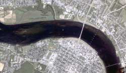
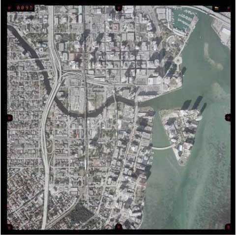
| Remote sensing satellites: these satellites orbit and continuously take images of the earth's surface. | Satellite image of Fredericton, New Brunswick. |
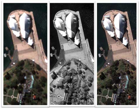
All the satellite images that you see in Google have undergone some processing. These processing techniques are designed to improve the overall quality and usability of the images. The figure below show the results of applying an image processing technique developed at UNB to a satellite image of the Sydney Opera House (Sydney, Australia). This technique combines a “colour” satellite image with a “black&white” satellite image and creates a higher quality colour satellite image. Many of the satellite images in Google have been processed using this UNB technique.
Hydrographic Surveying
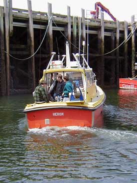
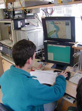
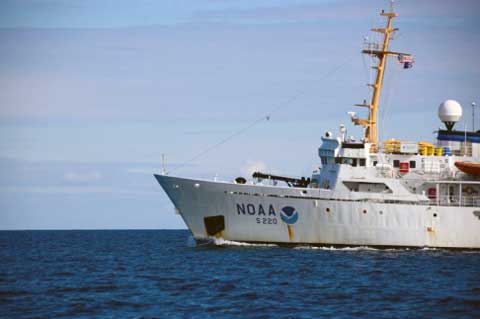
Hydrographic surveying involves measuring, detecting and describing features on the sea floor that affect marine construction and navigation. Offshore construction could involve the construction of bridges, oil and gas exploration and drilling, wind farm construction and other activities. Hydrographic surveying can also involve tides, currents 3 dimensional mapping of the seafloor and identification of offshore boundaries. There are countless geomatics related activities involved in offshore surveying and the job opportunities are worldwide. Potential employers for hydrographic surveying could be both private surveying companies and the government. Within the department of Geomatics Engineering at UNB, the Ocean Mapping Group (OMG) performs research in the field of hydrographic surveying and a number of different undergraduate classes are offered to all students within the department who are interested in offshore surveying.
| 
|
|---|
Geographic Information System (GIS)
Geographic Information Systems (GIS) are computer-based systems designed to capture, store, manage analyze, and present all types of geographic data. They apply cutting-edge technological and scientific methods and as any information system, they convert raw data into useful information. What makes GIS unique is that they handle data that are located in space and change over time. They are used to analyze this data and extract useful knowledge to support various applications including urban planning and management, resource exploration, environmental management, archaeology, and land use studies. Through a series of courses, students in GGE will get aquatinted with the technology and methods applied in GIS. They will learn how to apply engineering methods, develop software tools, and combine art and science to communicate their results with the end-users through appropriate visualizations, maps, as well as internet-maps.
The employment opportunities for a GIS Engineer are very wide and growing. As 80% of all data that humans record and analyse contains some reference to geography, the expertise of a GIS Engineer is obviously well-demanded in both public and private sectors (from government, academia, industry, to military).
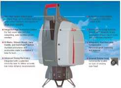
Laser Scanning Applications
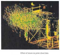
Laser scanning is a modern technique using the latest technology to collect information about the Earth's surface, buildings, infrastructure, and other objects, without making physical contact with them, and using the information collected to solve problems. An instrument on the ground uses a laser to produce a detailed image in three dimensions of the scanned object. Digital processing and expert analysis are then used to extract useful information from the image. Laser scanning is used in almost all disciplines to solve any geo-related problems, from monitoring of dams and bridges for possible movement, planning for modifications to industrial plants, creating detailed images of modern and historic buildings and artefacts, determining the volume of material cut for excavation, recording accident and crime scenes, assessment of risk from flooding, to the study of river beds and valleys, geologic outcrops, and growth patterns in a forest.
Almost any organization which needs geo-related information to solve their problems will hire laser scanning professionals, from government, academia, industry, to military.
| 
|
|---|
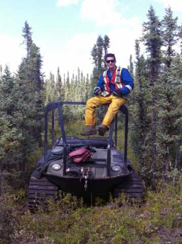
Mining Surveys
Canada is one of the top 5 countries in the world in global production of 12 major minerals and metals and is sixth country in petroleum production. Canada is the first in the world in potash production with two large mining operations in New Brunswick and large reserves of natural gas. Canadian mining sector faces an unprecedented hiring challenge in the next decade. Mining surveying is critical in providing geodetic positioning control of underground and surface operation as well as positioning of pipelines and drilling platforms in oil and gas industries. Mining surveying is essential for economy and safety of mining operation and environmental protection by monitoring and interpretation of rock mass deformations and their effects on surface infrastructure.
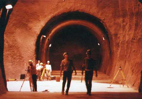
Engineering Surveys
Engineering surveys are essential in any civil, mining, and geotechnical projects at the stages of planning, construction, and operation. It provides geodetic positioning control of high precision and monitoring of structural stability of large dams, bridges, tunnels etc. Engineering surveys are supported by the development of new technologies based on terrestrial, airborne and satellite surveying techniques.
Plane Surveying
Plane surveying involves gathering geo-spatial information (information about various features with respect to their location on the surface of the Earth), without considering geodetic aspects. This means plane surveying is usually done over a much smaller area, such as finding and determining the correct location of the boundaries of an individual property. Other examples of plane surveying could be road construction, power line construction and surveys for oil and gas wells and pipelines. There are numerous geomatics opportunities for plane surveying not only all over Canada, but all over the entire world. Potential employers for geomatics students interested in plan surveying would be a variety of private surveying companies and the government.
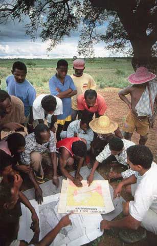
Land Administration and Management
Geomatics thoroughly involves gathering information about land and individual properties, such as their locations, the owners, the boundaries and additional interests in the land. Land administration, including both formal and informal property systems, includes the transferring of ownership of land, the regulation of property development, the sustainable use of land and resolving current or potential conflicts regarding the rightful ownership of land. Geomatics engineers are thoroughly involved with land administration and management and current and past professors in the GGE department at UNB have been extensively involved with the creation of land information systems in a variety of countries. Potential employers for students and graduates involved with land administration and management include private companies, the government and a variety of national and international organizations.
| 
|
|---|
Photogrammetry
Photogrammetry is the science, art and technology of obtaining reliable information from photographs. By analyzing aerial photographs and electromagnetic images, reliable characteristics of objects on the ground can be obtained. The most common purposes of collecting information by using photogrammetric methods are for topographic mapping, land inventory and terrain modeling. Photogrammetry can be used to create 3 dimensional models of the surface of the Earth and can be used to obtain information about ground elevations of certain features. Geomatics engineers gather, store, analyze, manipulate and display information gathered from photogrammetry so it can be easily understood by other professionals. Potential employers of geomatics students and graduates interested in photogrammetry are numerous private companies, the government and national and international mapping organizations.
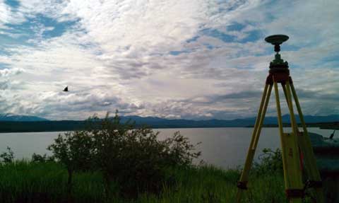
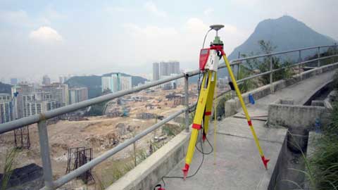
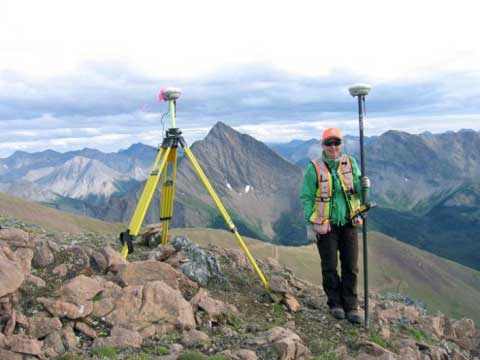
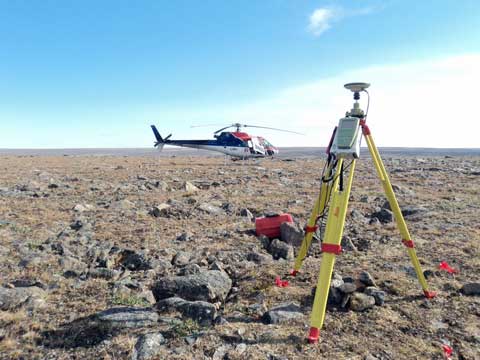
Geodetic Surveying
Geodesy is the science of determining the geometry (size and shape) and the gravity field of the Earth, and monitoring their temporal variations. Geodetic engineering utilizes the principles of geodesy to solve needs that range from industrial requirements to Earth sciences. For many positioning applications, the curvature of the Earth can be ignored when calculating positions. For applications requiring the highest accuracy, geodetic principles must be taken into. Geodetic surveying makes use of networks to establish coordinate referencing systems, which are the foundation of any spatial positioning. Property boundaries, maps and construction projects are a few examples of things in our daily lives that rely upon coordinate referencing systems. One can imagine the consequences of a skyscraper being mistakenly constructed on the wrong property or an airplane missing a runway due to an unreliable coordinate system. Potential employers for geomatics students and graduates interested in geodetic surveying would be various private companies, the government and national and international organizations.