

GGE's Ocean Mapping Group and the Canadian Hydrographic Service Collaborate to Chart Canada's Future Arctic Deep-Sea Port
(Continued from here.)
Data acquisition and processing was done by Steve Brucker (B.Sc.E. 2006) and Auke van der Werf, both of the OMG. Part of the CHS team heading up the mapping efforts was Jason Bartlett (B.Sc.E. 2003) who has worked very closely with the OMG on Arctic seabed mapping projects since 2003. Soundings collected during the 2008 mapping campaign recently became available on an electronic nautical chart of the area, released in early 2009.
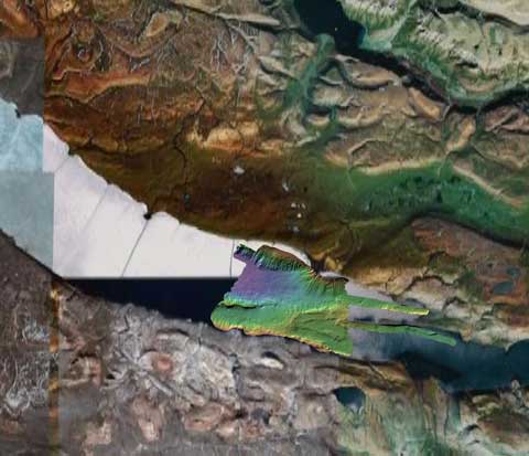 |
| Colour-coded bathymetry with false sun illumination, and backdrop imagery from Google Earth. |
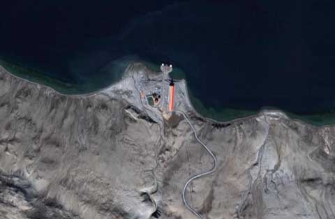 |
| Zoom-in on the existing port facility, again from Google Earth. |