

The Ocean Mapping Group - Still Making News in the Arctic
(Continued from here.)
Jonathan was interviewed by the CBC for a recent story. "The shipping lanes are very well sounded, but if you go off that beaten path, there's an awful lot of surprises in Hudson Bay and in the [Northwest] Passage as well. So it's good that we're getting off the beaten path. We're slowly filling up the charts."
For more of the CBC story, go to http://www.cbc.ca/canada/north/story/2007/09/18/amundsen-map.html?ref=rss
The following photos were taken by Ian Church between July 26, 2007 and August 17, 2007 during the CCGS Amundsen's recent voyage.
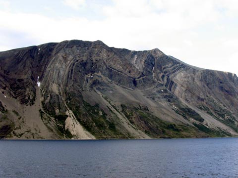 |
| The cliffs lining Nachvak Fjord on the northern coast of Labrador. (59° 2' N 63° 43' W) |
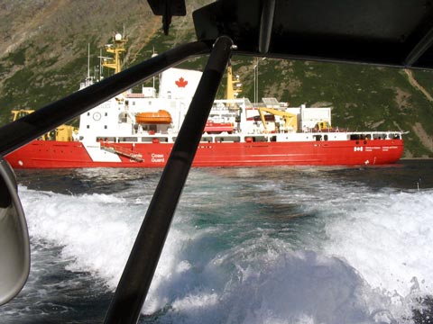 |
| The CCGS Amundsen. (58° 59' N 63° 53' W) |
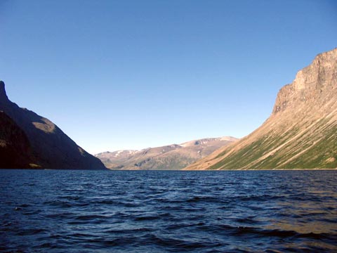 |
| Nachvak Fjord. (58° 59' N 63° 53' W) |
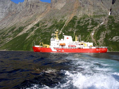 |
| The CCGS Amundsen. (58° 59' N 63° 53' W) |
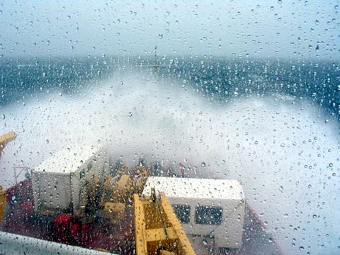 |
| Rough seas from the bridge of the Amundsen in southern Hudson Bay. (56° 52' N 84° 42' W) |