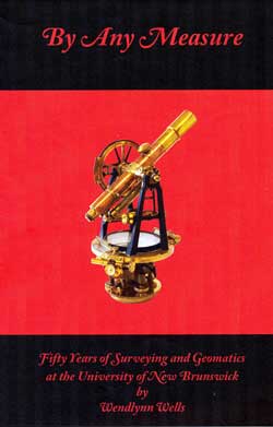
By Any Measure
Fifty Years of Surveying and Geomatics
at the University of New Brunswick
 By Any Measure tells the story of how the Department of Surveying Engineering (1960-1994) and then Geodesy and Geomatics Engineering came into existence, and the faculty, staff, and students involved in creating and maintaining this jewel (a thing of rare excellence and value) over the past 50 years. During the 1960s, Gottfried Konecny ensured that a surveying niche was found first under the “heavy hand” of civil engineering and then as an entity unto itself. With department status came an operating budget that brought top of the line people and equipment into UNB from many corners of the world.
The 1970s was the decade of expansion and solidification. Along with the arrival of Angus Hamilton as Chair, nine faculty members in either full-time or part-time positions were added to the roster as well as six part-time or full-time staff. Enrolment peaked in 1979 with over 220 undergraduate, graduate, and diploma students.
Innovation and inspiration are the key words for the 1980s as the world moved into the digital age and knowledge-based industries. Personal computers took over from large mainframes, and satellite and other space-based sensors began to monitor and measure Earth at an unprecedented level of accuracy.
Measuring Earth in the 1980s became mapping the oceans' depths in the 1990s as a Chair in Ocean Mapping was established in the Department. The Global Positioning System was put to ever increasing and innovative uses. With GPS, the development of knowledge-based industries, and other technological advances, it was time to banish the surveying vision of a tripod and transit at the side of the road and replace it (in 1994) with one encompassing everything associated with geodesy and geomatics to better reflect the broad scope of the teaching and research carried on in the Department.
The Millennium decade (2000s) saw many changes in the roster of faculty as well as staff. Not only was the Department involved in the Arctic defining Canada's continental shelf, but Brazil also called on our expertise to help them implement a national geospatial framework. Malawi and UNB signed a cooperation and exchange agreement with Mzuzu University (with GGE providing the geomatics training). Google Earth, the U.S.'s National Aeronautics and Space Administration and National Oceanic and Atmospheric Administration, as well as Natural Resources Canada are using an image-fusion technique developed in the Department for converting remotely sensed image data into useful geospatial information. And GGE researchers contributed the GPS attitude, positioning, and profiling instrument for the research satellite CASSIOPE.
The final section, “Yesterday, Today, and Tomorrow” reveals snippets of the past, present, and future world-class research, applications, and developments in the field of UNB geomatics.
Order your copy by filling in and returning this form.
Have a look inside the book: A few pages from Innovation and Inspiration: Memories of the 1980s and The Millennium Decade:Memories of 2000-2009
Review from Geomatica, Vol. 65, No. 1, 2011 (permission granted by the Canadian Institute of Geomatics)


